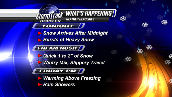
This storm will impact our area early Friday morning in a weakened state. Here is the timeline of what I expect to happen:
Snow is expected to arrive by 3 AM south of Toledo and spread north through 6 AM. The duration of snow may be only a few hours, but a couple inches of snow may quickly pile up. Here is the hour by hour forecast for snow accumulations through Friday morning:
After 7 AM I expect a wintry mix of sleet and freezing rain to develop across our southern counties and move north. The sleet and ice will likely keep snow totals below 2" for most areas, but still will continue the threat of a very slippery morning commute. Here is a bit of a more technical analysis for how we forecast this change from snow to ice. The following graphic is a model Skew-T of the lower level temperature and moisture profile of the atmosphere at 8 AM tomorrow morning.
This appears to be the threshold time that snow may end and ice may begin. Here is why. Warm air advection ABOVE the surface takes the temperature to or above freezing. At this point, snow at about 2,500 feet would melt. However, at the surface cold air remains locked in with BELOW freezing temperatures. Melted snow would then refreeze on or near the surface resulting in sleet or freezing rain.
Ice accumulations would be minimal, but any ice can make for big travel issues. By noon, I expect the temperature at the surface to rise above freezing completely ending any chance of our wintry weather continuing beyond lunch time. I'll have live updates all morning long, see you on WTOL 11 Your Morning starting at 4:30 AM ~Meteorologist Chris Vickers.


No comments:
Post a Comment